Trade routes
Salt mining in Hallstatt required a support structure comprising not only settlements, cemeteries and cult sites, but also an extensive road system. As is always the case with mountainous regions, this system followed the natural lines provided by the courses of the rivers.Hallstatt’s trade network
The Traun river
Overland routes
Wayside finds from the Bronze Age and Roman period
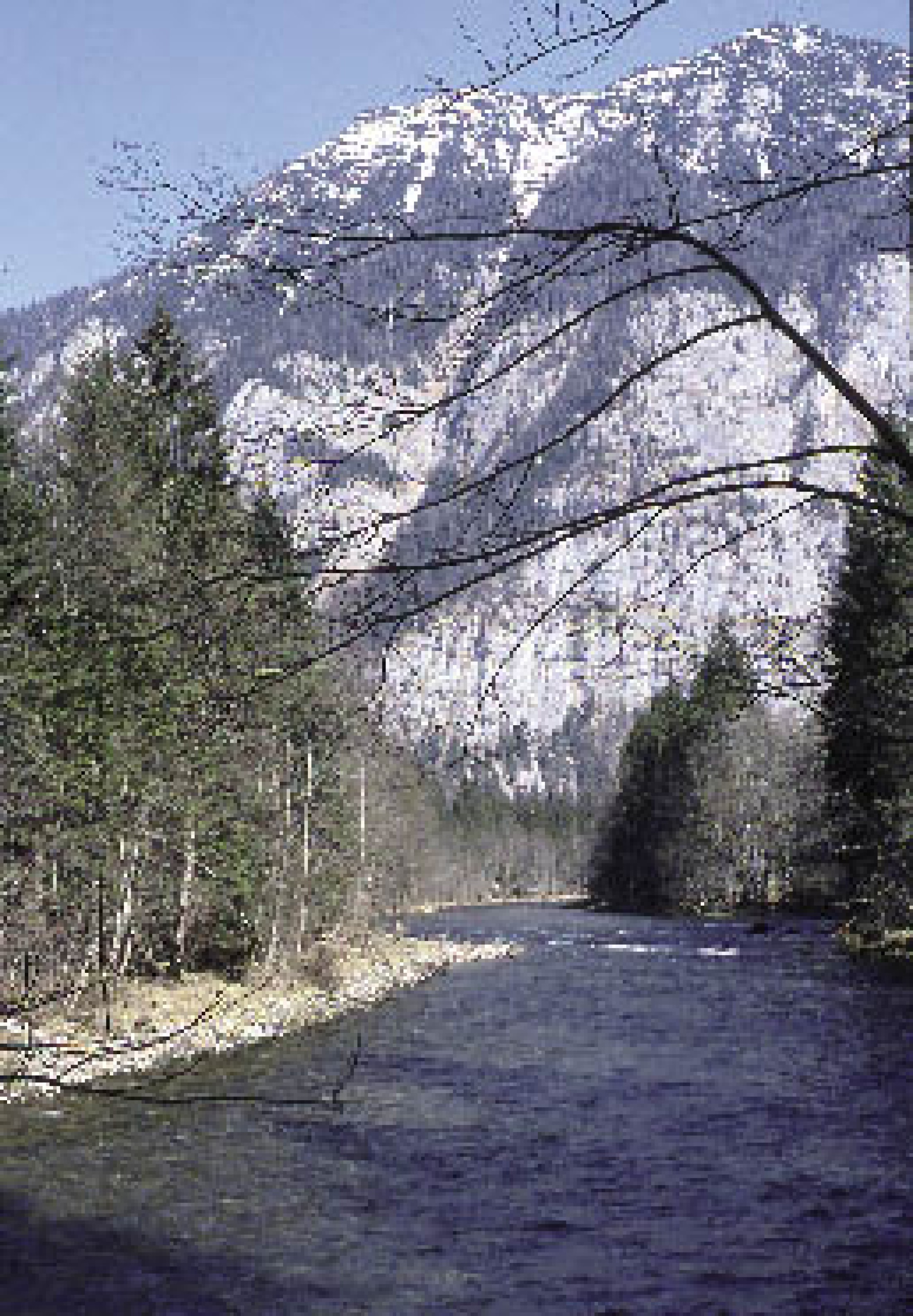
The shoreline path along the Hallstaetter See lake
From the Hallstaetter See lake to the Traunsee lake
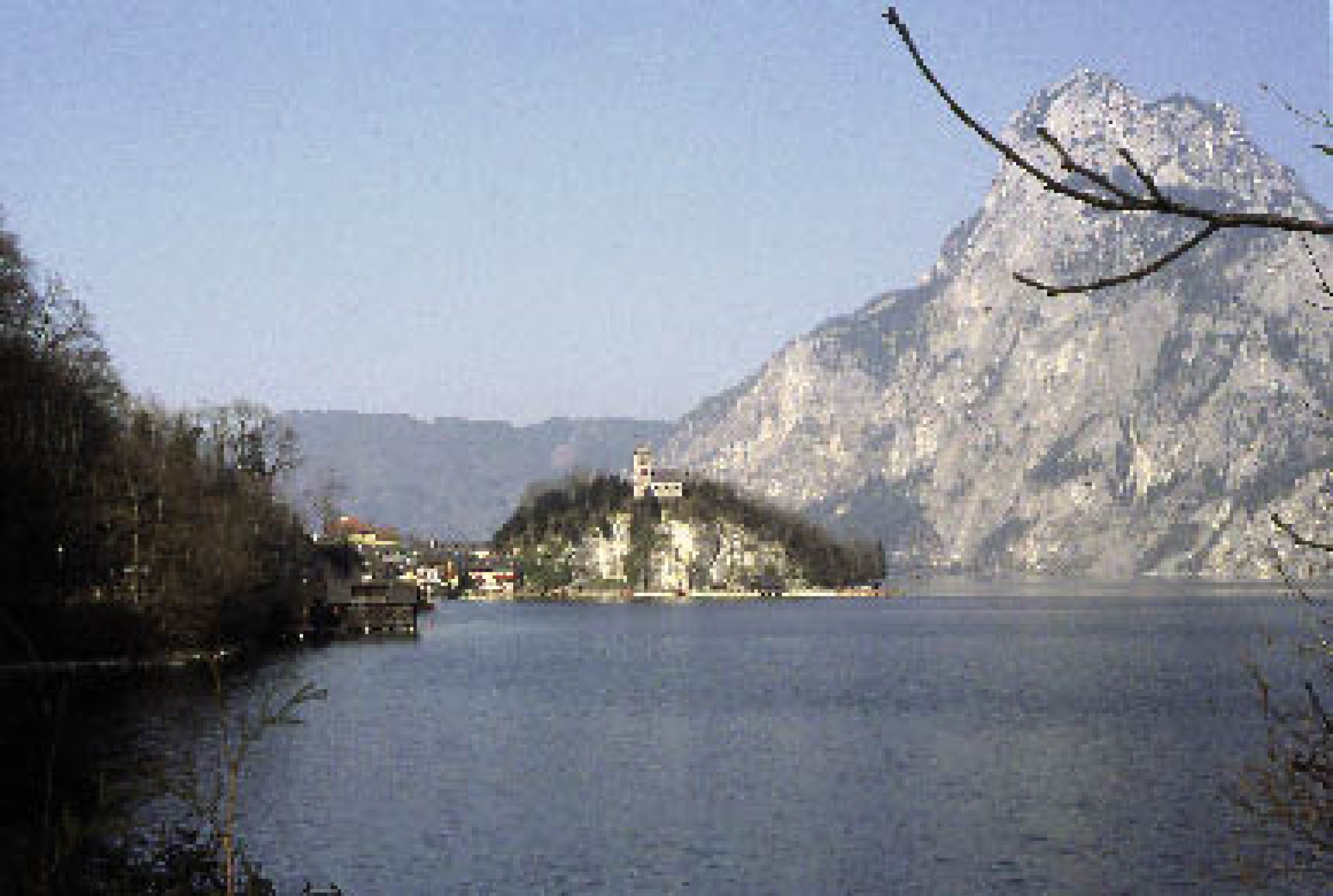
The lakeside settlement in Traunkirchen
Roman routes
Other sacrificial rituals in the Hallstatt and La Tène Period
Hallstatt’s trade network
The areas closely connected through the river Traun and ist tributaries had a share in the ‘salt boom’ of the Bronze Age, Iron Age and Roman Period between 1500 BC and 400 AD. Their inhabitants worked as producers for the mining region, where a large number of physically hard working people needed tools, food, clothes and everyday items. Hallstatt supplied the vital salt to markets far beyond the Alpine region.Salt was widely employed for cooking, for the preservation of animal proteins or the processing of hides and pelts, in livestock breeding, metallurgy, the production of glass and in the art of healing, and these manifold uses made it an essential commodity. Through their extensive trade contacts, the Hallstatt people could obtain luxury goods from all parts of Europe and furnish their graves with precious offerings. In recent years, investigations and finds have shown that an artificial road system connected Hallstatt to the neighbouring northern and southern regions and that it was one of the bases of the salt trade in prehistory and early history.
The Traun river
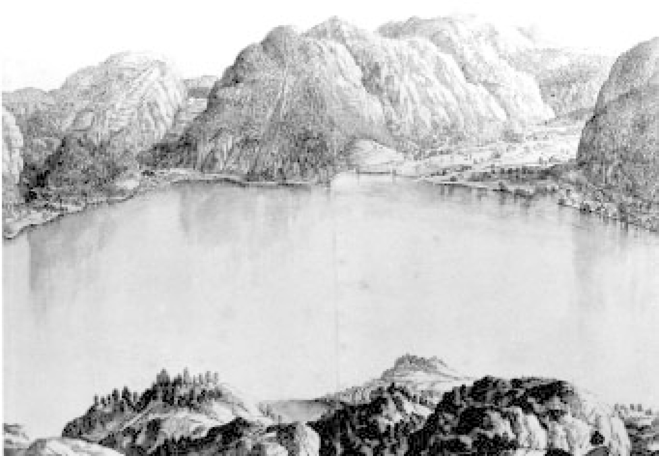
The Traun, the great southern feeding river of the Danube, drains one of the East Alpine regions with the highest precipitation. It rises in the eastern Dachstein region. The features of the valleys formed by the course of the river and their Alpine character determined the layout of the routes. Since the Traun flows through Lake Hallstatt, it is divided into several sections. Until the flow of the river was controlled in modern times, the Traun had been navigable downstream with a sufficient water level, but it had never been navigable upstream. The transport of goods thus depended mainly on human and animal power. The indented upper reaches of the Traun connect Hallstatt to the Aussee Becken and the Styrian Enns Valley with copper deposits near Liezen.Overland routes
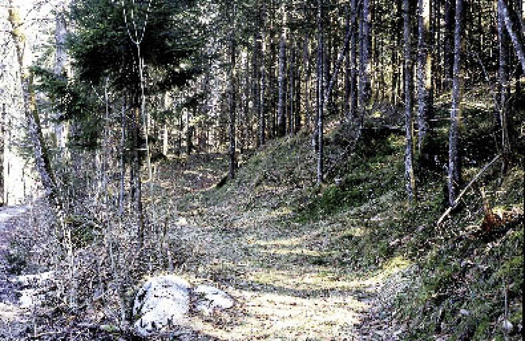
Well into historic times, the Koppentraun and Kainischtraun Valleys were the most easily accessible direct land bridge to Hallstatt. Both narrow valleys are characterised by steep slopes entailing many dangers in all seasons: rock falls and avalanches, karstic springs triggered by the melting of snow and heavy summer rain, or high water on the Traun. The route along the upper reaches is evidenced by the marked-out path in the terrain as well as by a large number of dateable finds. The continuous use required extensive artificial constructions dating back to primeval times. In some places, the path is formed by a terrace secured by stone layers, situated some 30 metres above the level of the river, and in some places it is formed by a ravine.Wayside finds from the Bronze Age and Roman period
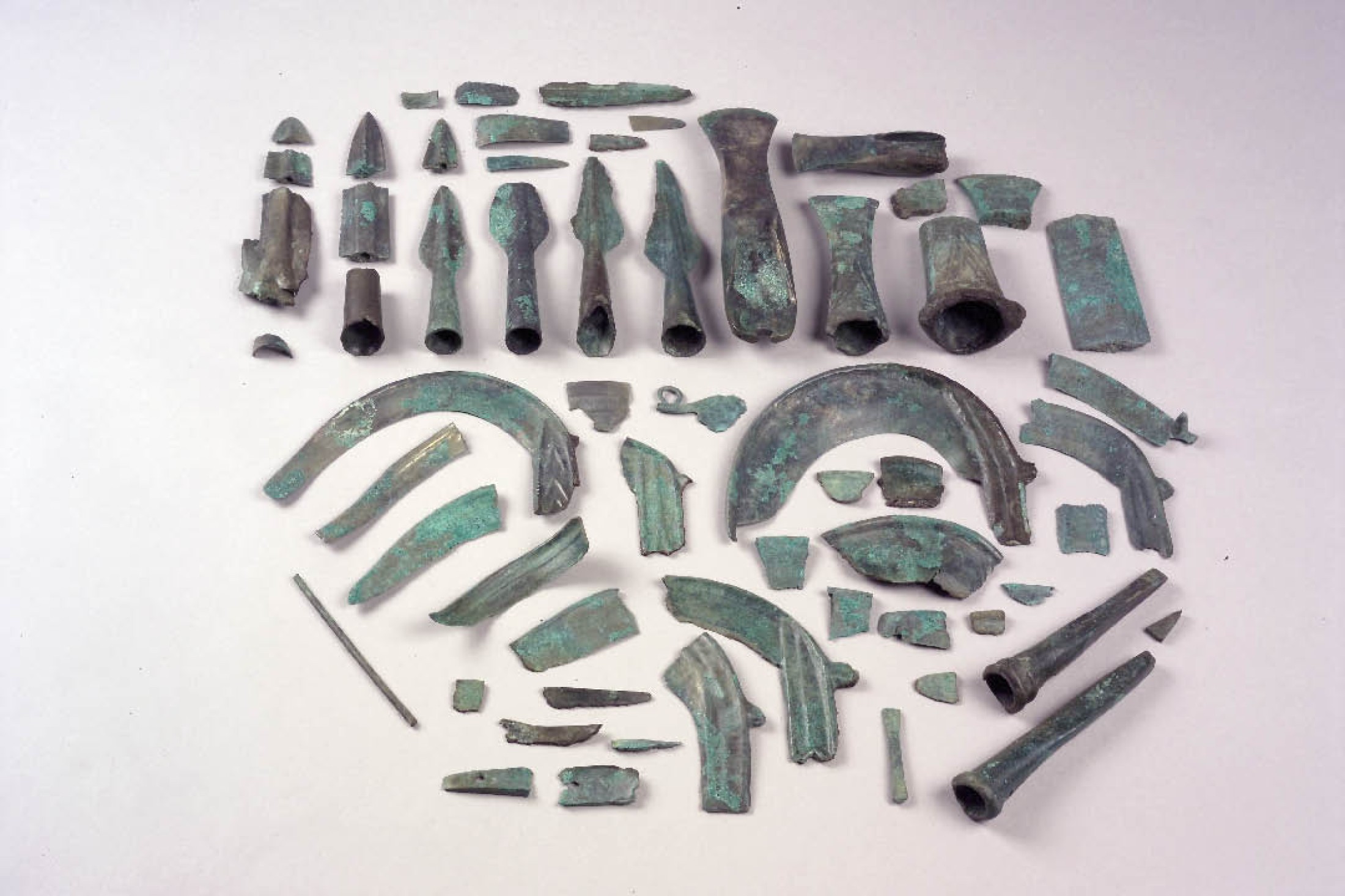
Hundreds of metal items were discovered on the 30 km path from Ödensee to Hallstatt, mostly dating from the Urnfield Culture or the Roman Imperial Era, the most prominent being some 30 metal hoards, mainly of the Urnfield Culture. The deposition of such hoards along the old routes reflects a cultic custom characteristic of the Bronze Age Alpine region. The associated infrastructure is evidenced by three Roman settlements and one Late Bronze Age settlement (1250–750 BC) on the Koppentretalm, where a burnt offering place was uncovered in 2006/07. In these typical Middle Bronze Age and Iron Age sanctuaries in the Alpine region, field crops and animals were burnt as a sacrifice to the gods, and slowly formed a cinder cone (cinder altar).The shoreline path along the Hallstaetter See lake
From the outlet of the Koppentraun into Lake Hallstatt, the visible marked-out route disappears in the flood plain. Because of the artificial rise of the water level of the lake from 1511 onwards, scholars assume that the original route probably ran along the southern lakeside. A map of the end of the 17th century shows by a dashed line the road leading along the south side of Lake Hallstatt to Hallstatt. The most important road leading from the north into the environs of Hallstatt led along the steep western lakeside and is documented by hoards dating to the Urnfield Culture.From the Hallstaetter See lake to the Traunsee lake
North of Lake Hallstatt, the Traun Valley opens up to a pre-Alpine landscape with potential settlement terraces. In this area, the routing was less limited by terrain conditions. Single finds suggest that the road led along the right, that is to say the eastern side of the Traun. North of Bad Ischl, it shows in a road line built in Roman times, suitable for vehicles; as well as in a large number of transport losses, above all iron shoes (‘hippo sandals’) worn by pack animals. Near Ebensee, the road reaches the Traunsee, from where the goods could be transported by water.The lakeside settlement in Traunkirchen
A lakeside settlement off the Traunkirchen peninsula suggests that the goods were transported by boat over the Traunsee. Traunkirchen was the most important central settlement in the Outer Salzkammergut region in the Late Bronze Age and the Iron Age (12th to 5th century BC). The special function of this settlement is evidenced by its large burial sites and a sanctuary with a burnt-offering place on the exposed Johanneskogel, whose fire must have been visible from places all around the Traunsee.Roman routes
It was in Roman times that salt was mined for the first time in the Aussee salt district. The miners’ settlement dating from the period between 150 and 400 AD was situated on another road that led from the Enns Valley to the Traun River area near Bad Goisern, crossing the region around Bad Aussee and the Michaelhall Mountain. In the vicinity of Bad Goisern, it met the Traun route coming from Hallstatt. The routing as well as a number of finds show that the road leading from Aussee to Hallstatt had been used since the Bronze Age, while the section along Lake Hallstatt and the Traunsee, over the Michelhall Mountain, was built in the Roman period.Other sacrificial rituals in the Hallstatt and La Tène Period
The earlier routing in this area has not yet been clearly documented, partly because the Late Bronze Age had very special offering rites. Hoards of offerings were put down according to criteria that are no longer explicable, forming a kind of offering landscape in narrow sections by the Koppentraun and Kainischtraun Rivers. The Traun Valley north of Lake Hallstatt was much better suited for settlements, but less suited for sacrifices.For the Hallstatt Culture and La Tène period, when salt mining in Hallstatt was of unchanged importance, archaeological evidence of the infrastructure required for the transport of salt and supplies is missing, except for the lakeside station in Traunkirchen. This is due to changes in the offering rites and the religious beliefs, which no longer demanded the deposition of precious offerings. The roads continued to exist for centuries and connected a remote Alpine region with the outside world.
(Pollak, M.)